The formation of a levee is one of the most fascinating natural processes in fluvial geography, showing how rivers shape the landscape through erosion, transportation, and deposition. Levees are natural embankments that form along riverbanks, protecting surrounding areas from flooding. They are created gradually over time as rivers overflow their banks and deposit sediment during floods. Understanding how levees form helps explain how rivers evolve and why certain regions are more prone to flooding or fertile soil. The process is a balance between the power of moving water and the material it carries, making it an essential concept in physical geography and environmental studies.
Understanding What a Levee Is
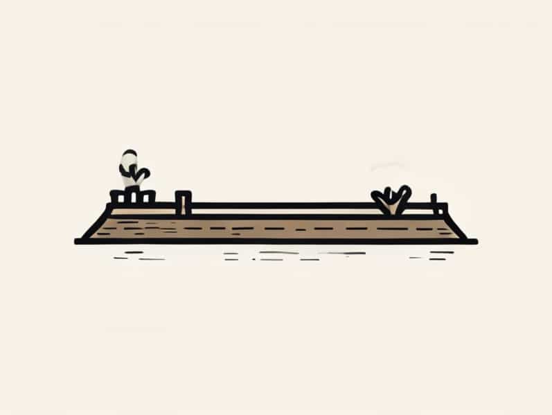
A levee is a raised ridge or embankment found alongside a river channel. It forms naturally from sediment deposited during periods of flooding, though humans often reinforce or build artificial levees for flood control. Natural levees are typically composed of layers of sand, silt, and clay, which settle in place after floodwaters recede. These ridges can range from just a few centimeters to several meters high, depending on the size of the river and the frequency of flooding.
Levees act as natural barriers, preventing water from spilling out of the river channel during normal flow conditions. They also play an important role in shaping floodplains, influencing where water flows and how sediment accumulates over time. Because of their protective function, levees are vital features in river systems around the world, especially in low-lying regions and deltaic environments.
The Process of Levee Formation
The formation of a levee begins when a river floods its banks. During flood events, the river’s velocity decreases as it spreads across the floodplain. This reduction in speed causes the river to lose its capacity to carry larger and heavier sediment. As a result, coarse materials such as sand and gravel are deposited first, right next to the riverbanks, while finer ptopics like silt and clay are carried farther away and settle more slowly.
Over time, repeated floods cause these deposits to build up, forming raised embankments on either side of the river channel. Each flood adds new layers of sediment, slowly increasing the height of the levee. Between flood events, the river continues to deposit small amounts of sediment, reinforcing the levee’s structure and shape. Eventually, these natural ridges become a permanent feature of the landscape.
Step-by-Step Levee Formation
- During heavy rainfall or snowmelt, the river overflows its banks and spreads over the floodplain.
- The river’s speed decreases as it spreads out, reducing its capacity to carry sediment.
- Heavier ptopics such as sand and gravel are deposited first, closest to the river channel.
- Lighter ptopics like silt and clay travel farther before settling on the outer floodplain.
- With each flood, the deposited materials accumulate and raise the natural embankments beside the river.
- Over time, a distinct levee forms, helping to confine the river during future floods.
Factors Influencing Levee Formation
Several factors determine how quickly and effectively a levee forms. The main influences include river velocity, sediment load, frequency of flooding, and the slope of the floodplain. A river that carries a large sediment load and experiences frequent floods will develop levees more quickly than one with infrequent floods or low sediment levels. The type of material carried by the river also matters, as coarser sediments build stronger and more pronounced levees than fine-grained materials.
Climate and vegetation play supporting roles as well. In regions with heavy rainfall, levees can develop rapidly due to frequent flooding events. Vegetation helps stabilize the deposited sediment, reducing erosion and promoting the long-term growth of the levee. On the other hand, human activities such as deforestation, river channelization, and dam construction can alter the natural process of levee formation by changing the river’s flow pattern and sediment supply.
Natural vs Artificial Levees
While natural levees are formed through the deposition of sediment by rivers, artificial levees are built by humans to provide greater flood protection. Artificial levees are usually made from compacted soil, rocks, or concrete and are designed to contain water during extreme flood events. These structures are often much higher and steeper than natural levees, and they require regular maintenance to remain effective.
Natural levees, by contrast, develop gradually over centuries and often blend into the surrounding floodplain. They provide moderate protection against minor floods but can be overtopped during major flood events. In some cases, human engineers reinforce natural levees to combine natural and artificial protection systems. Many major river systems, such as the Mississippi River and the Nile, have both natural and man-made levees that work together to manage flooding.
Importance of Levees in the Environment
Levees play a crucial role in shaping the natural environment. They create distinct floodplain zones by controlling where water flows during flood events. Behind the levee, areas are less frequently flooded, allowing vegetation and human settlements to develop. On the other hand, areas beyond the levee still experience seasonal flooding, which enriches the soil with fresh silt and nutrients. This process helps maintain the fertility of floodplain regions, making them valuable for agriculture.
In addition, levees influence river ecology. They can create habitats for different plant and animal species, particularly in wetland areas. However, excessive reliance on artificial levees can have ecological drawbacks, as it prevents the natural flooding cycles that many ecosystems depend on. Balancing flood protection and environmental preservation is a key challenge in modern river management.
Examples of Levee Formation Around the World
Natural levees can be found along many major rivers around the world. The Mississippi River in the United States is one of the most well-known examples. Over thousands of years, sediment carried by the river has built extensive natural levees that define much of the Mississippi floodplain. Similarly, the Ganges-Brahmaputra Delta in Bangladesh and India features a network of natural levees formed by monsoon floods.
In Europe, the River Rhine and the River Po also display clear natural levee systems, which have influenced the development of agriculture and human settlements for centuries. In tropical regions, such as the Amazon Basin, levees form quickly due to high rainfall and sediment loads, creating diverse ecosystems along the riverbanks.
Challenges and Human Impact
Although levees provide important natural protection, human interference has sometimes disrupted their function. Building artificial levees can lead to problems when they prevent floodwaters from naturally spreading across the floodplain. This may cause water levels to rise higher in the main channel, increasing the risk of catastrophic floods if the levee fails. Additionally, restricting floods can reduce soil fertility, affecting agriculture in the long term.
Modern river management aims to strike a balance between flood control and environmental health. In some areas, engineers are now allowing controlled flooding to restore natural levee formation and maintain ecosystem balance. This approach supports both human safety and environmental sustainability.
The formation of a levee is a dynamic natural process that highlights the power and rhythm of river systems. Through repeated flooding, rivers build protective ridges that shape the land and sustain fertile floodplains. Understanding how levees form helps us appreciate their role in flood management, agriculture, and ecology. Whether natural or artificial, levees represent the delicate balance between nature’s force and human adaptation. Their formation remains a key subject in geography, environmental science, and sustainable land use planning.