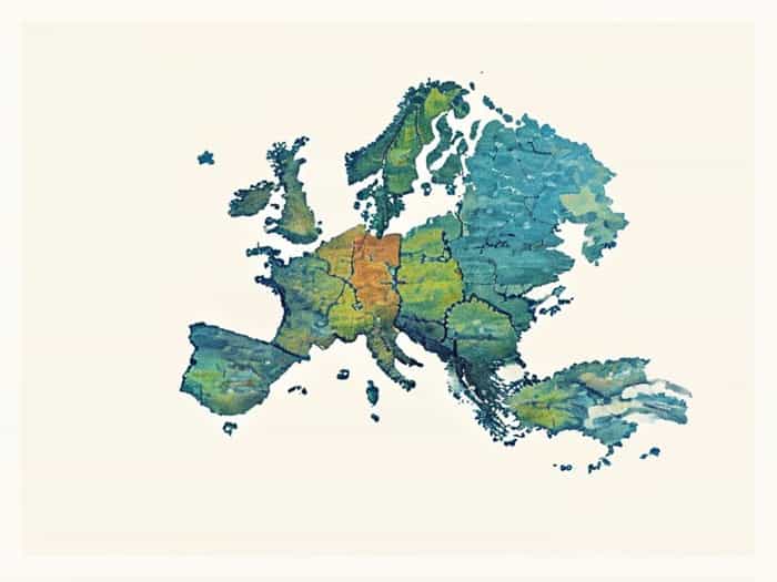
The map of Eastern Europe provides a fascinating overview of a region rich in history, culture, and geography. Eastern Europe encompasses a diverse range of countries, landscapes, and political boundaries that have evolved over centuries. From the Baltic states in the north to the Black Sea in the south, the region includes countries with distinct languages, traditions, and historical influences. Understanding the map of Eastern Europe is essential for travelers, students, historians, and anyone interested in geopolitics or cultural studies. It helps in identifying countries, capitals, major cities, rivers, mountain ranges, and other key features that define this unique part of the European continent.
Geographical Overview of Eastern Europe
Eastern Europe is generally defined as the area located east of Germany and north of the Balkans, stretching from the Baltic Sea to the Black Sea. The region includes countries such as Poland, Ukraine, Belarus, Romania, Hungary, and the Baltic states of Estonia, Latvia, and Lithuania, among others. Geographically, Eastern Europe is diverse, featuring plains, mountains, rivers, and coastlines that have influenced settlement patterns, agriculture, and trade over the centuries.
Major Rivers and Waterways
Rivers play a crucial role in shaping the geography and economy of Eastern Europe. The map highlights several major rivers
- The DanubeFlowing through multiple countries including Romania and Hungary, the Danube is vital for transportation, agriculture, and energy.
- The DnieperA key river in Ukraine and Belarus, supporting cities like Kyiv and providing access to the Black Sea.
- The VistulaPoland’s longest river, flowing through Warsaw and connecting the country to the Baltic Sea.
- The OderFlowing along the border of Germany and Poland, important historically and economically.
Mountain Ranges
Eastern Europe is home to significant mountain ranges, which shape climate, biodiversity, and human settlement. Notable ranges include the Carpathian Mountains, stretching through Romania, Ukraine, and Slovakia, and the Balkan Mountains in Bulgaria. The Sudetes mountains run along the Czech-Polish border, providing natural barriers and influencing historical boundaries.
Countries of Eastern Europe
The map of Eastern Europe shows a variety of countries, each with unique features, cultures, and histories. These countries are often classified into different subregions, such as the Baltic states, Central Europe, and the Balkans.
Baltic States
Estonia, Latvia, and Lithuania form the Baltic region. These countries are located on the northeastern edge of Europe, bordering the Baltic Sea. They are known for their rich cultural heritage, medieval architecture, and forested landscapes. Capital cities include Tallinn (Estonia), Riga (Latvia), and Vilnius (Lithuania).
Central and Eastern Europe
Countries such as Poland, Hungary, Slovakia, and the Czech Republic are sometimes referred to as Central Europe, but they are often included in broader definitions of Eastern Europe. Poland is a major country with historic cities like Warsaw and Kraków. Hungary is known for Budapest, its thermal baths, and the Danube River. Slovakia and the Czech Republic have rich histories and vibrant cultural traditions.
South-Eastern Europe
Countries in the Balkans, including Romania, Bulgaria, and parts of the former Yugoslavia, also fall under the Eastern European map. Romania features the Carpathian Mountains and the Black Sea coast. Bulgaria has diverse terrain, including mountains, plains, and beaches along the Black Sea. The region is characterized by a mix of ethnic groups, languages, and cultural influences.
Historical and Political Significance
The map of Eastern Europe is not only a tool for geographical reference but also for understanding history and politics. The borders in this region have shifted frequently due to wars, treaties, and changing empires. Eastern Europe was heavily influenced by the Ottoman Empire, Austro-Hungarian Empire, and the Russian Empire. In the 20th century, the region was shaped by World War I, World War II, and the Cold War, with many countries under communist rule during the latter half of the century.
Major Historical Events
- The fall of the Soviet Union in 1991 resulted in the independence of several Eastern European countries such as Ukraine, Belarus, and the Baltic states.
- The expansion of the European Union and NATO has integrated countries like Poland, Hungary, and the Czech Republic into Western political and economic structures.
- Historical conflicts in the Balkans, including the Yugoslav Wars of the 1990s, have influenced modern borders and ethnic distributions.
Economic and Cultural Overview
Eastern Europe has a diverse economy, ranging from agricultural regions to industrial and technological centers. Countries like Poland and Hungary have rapidly growing economies and are important members of the European Union. Ukraine is a key agricultural producer, while Russia (partly considered Eastern Europe) is a major energy supplier. Cultural diversity is equally significant, with multiple languages, religions, and traditions coexisting in the region.
Languages and Religions
The map of Eastern Europe also reflects linguistic and religious diversity. Slavic languages dominate, including Russian, Polish, Czech, Slovak, Serbian, Croatian, and Bulgarian. The Baltic states have Estonian, Latvian, and Lithuanian as their official languages. Religious practices include Eastern Orthodox Christianity, Roman Catholicism, and Protestantism, with Islamic communities present in parts of the Balkans.
Using a Map of Eastern Europe
A detailed map of Eastern Europe is a valuable tool for travelers, educators, and students. It helps to locate countries, major cities, rivers, mountains, and transportation networks. Understanding the geographical relationships between countries, borders, and neighboring regions is crucial for planning travel, studying history, or learning about cultural and economic connections.
Travel and Tourism
Maps help travelers identify key destinations, plan routes, and understand the relative distance between cities and landmarks. Popular destinations include Kraków and Warsaw in Poland, Budapest in Hungary, Tallinn in Estonia, and Sofia in Bulgaria. Eastern Europe offers scenic landscapes, historic architecture, and rich cultural experiences, which are easier to explore with a reliable map.
Education and Research
Educators and students use maps of Eastern Europe to study geography, history, politics, and demographics. Maps provide visual representation of borders, population density, and natural features, helping learners understand complex regional relationships. Researchers analyzing migration patterns, economic trends, or environmental factors also benefit from accurate and detailed maps.
The map of Eastern Europe serves as more than just a geographical tool; it is a window into a region with deep historical, cultural, and economic significance. By studying the map, individuals can gain insight into the countries, landscapes, rivers, and mountain ranges that define Eastern Europe. Understanding the location of nations, their capitals, and key features helps in travel, education, and research. Additionally, the map reflects centuries of historical change and cultural diversity, providing context for current political and social dynamics. Whether for practical use or academic purposes, a map of Eastern Europe is essential for anyone looking to understand this complex and fascinating part of the world.